
Broadbottom Jeans, Boots with the Fur
A varied route, that traverses forested brook, moorland hills, and old railway lines. A great walk for novices wanting more challenge and some great vistas.
The Route
Having hiked this during a storm, as I was unable to take Storm Bert seriously with its name, some of the photos may seem grey, but it was a great walk even in rain, so I can only imagine how beautiful it is on a sunny day. Tracing moors and brooks, several viaducts and bridges cross sharp valleys, creating stunning vistas.
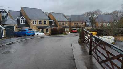
Broadbottom
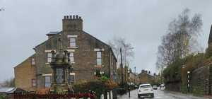
From the train station, head uphill past the remembrance memorial and turn left into a cul-de-sac. There is a little hidden ginnal near the bottom that accesses the forest below. The village is largely residential and perched on a steep hill, which gives nice views over the valley.
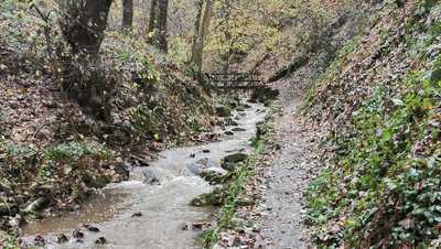
Hurst Clough
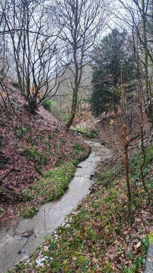
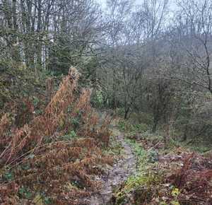
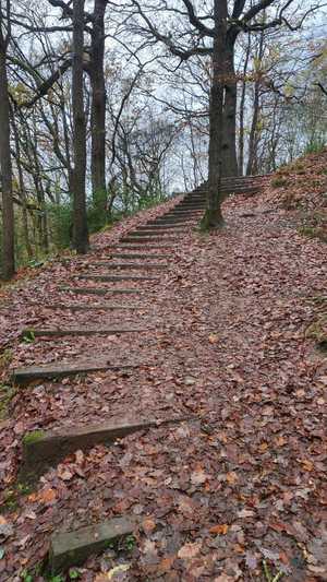
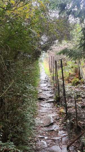
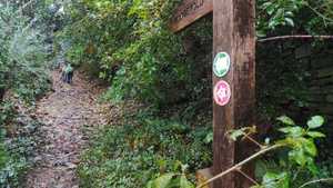
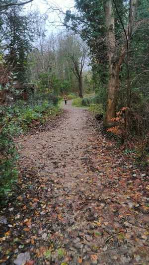
The ginnel takes you into Hurst Clough and you soon meet Hurstclough Brook. Paths criss-cross the woods here, and it can be hard to intuit which path is best to take. Generally, follow the brook upstream. Whichever path you take, it will link back up eventually. At the top, you meet an obvious path, that runs perpendicular to you. It is a bridleway, so it should be obvious to you.
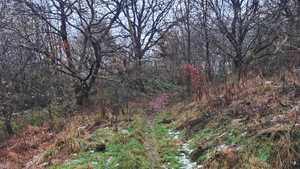
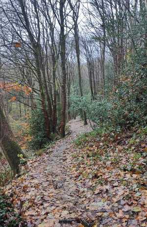
Hurst Clough is aptly named, being a wooded (Hurst) steep ravine (Clough). The paths here contribute largely to the Natural terrain I've given this walk.
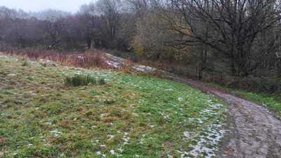
Bridleway
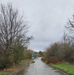
At the top of the clough, you meet a bridleway and turn right, following it along to a road.
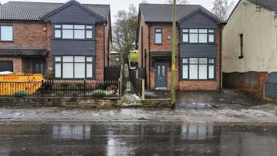
Hidden Ginnel
At the first road you meet, turn left, and a ginnel is on your right. It is obscured by a new development. I included this section purely because it is poorly sign posted path, and I passed it without knowing.
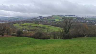
Crossing the Moors
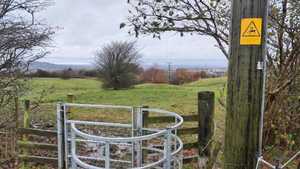
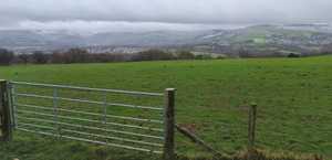
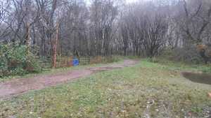
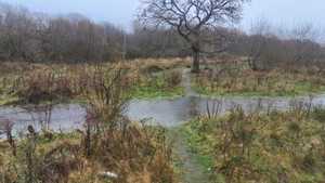
The path here snakes over fields with views over the Peak District and Glossop. Part way over, you meet another road, turn left and take the footpath on the right. In heavy rain, this path can be boggy, but it is passable.
There are a couple styles and gates to climb over here. Near the end, Pay attention to the path, as it threads between two fields, and either field will cut you off from the path through to the next staep of the walk.
The Hague
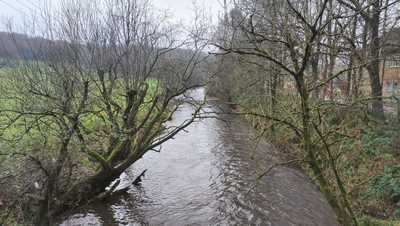
Reaching a lane, you turn left, and pass some farm buildings. Follow the lane till it crosses the River Etherow and take the next right, following a track up to the village of Gamesley.
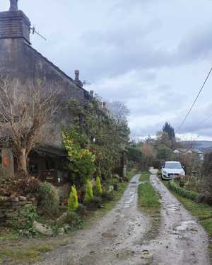
Why this area is called The Hague, I do not know. But some of the cottages here are beautiful, and have great views over the farmland around the River Etherow.
Melandra Fort
Turn left at the road you meet and follow it round till you see the old Roman fort on the left. This area could do with more information, as it was excavated in the past and now is somewhat unkempt. It is a shame such a good piece of history is so unacknowledged. I have even found two different names for the area, Melandra and Ardotalia Fort.
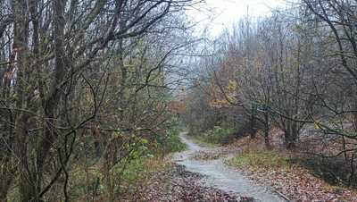
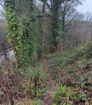
You cross the fort, and a path on the right trails into the woods. It meets another bridleway which heads South towards Glossop Road. Here, there is plenty of woodland on either side, and abundant ivy gives it a rich green texture.
NCN 62
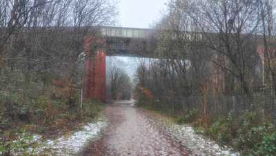
From the road, turn left, and follow it to the right where you pass under a viaduct. There is a small footpath on the right, which takes you behind the houses. Here, you meander forwards, crossing the field ahead and heading onto the NCN 62.
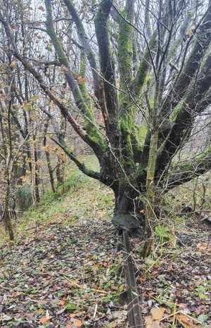
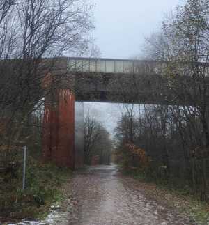
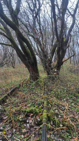
The NCN 62 (National Cycle Network route 62), is a transpennine route built in 2000 for the millennium and is slowly being upgraded by local communities. This section follows an old rail line that ran parallel to the current one. Some of the old infrastructure still remains, now encased in trees and vegetation. It is a remarkable symbol of nature's resilience.
Broadbottom Mills
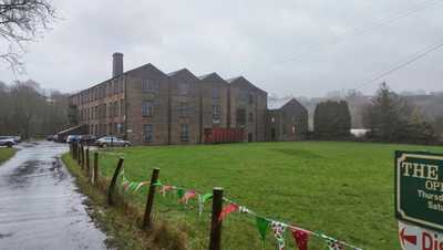
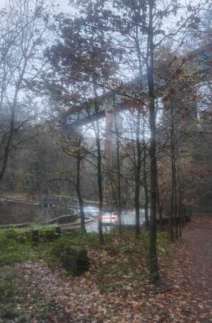
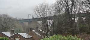
The NCN 62 comes out under the Broadbottom Viaduct, which spans over a hundred metres and its height, in technically terms, is well tall. It's quite spectacular straddling a steep ravine. Here, you cross over the water, and turn left down a small track.
This track takes you down to the old Broadbottom Mills. No longer working, it sits next to a garden centre which offers a tearoom should you want to use it.
Broadbottom mill has a small heritage trail through some of the remaining areas of interest, which is what you will follow west till you rejoin the River Etherow.
The Path Back
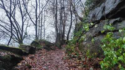
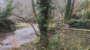
The path back heads along the river. Do not cross up. You head left as you climb, following the river's bend. As you pass a row of terraces, take a right immediately at the end, and follow up a steep incline back to the train station.
The pub down the road from the station is warm and friendly, and makes a great spot to recoup after the walk, particularly if, like me, you decide to walk in a storm.
Image Gallery
Getting to the start
Train
The train to Glossop and Hadfield passes through Broadbottom. It departs from Piccadilly every half an hour most days.
Car
There is a car park near the train station, and one at the nearby garden centre, which are pay and display. Broadbottom is not as far as you may expect, but the route to Broadbottom goes along a bust commuter route, so be prepared for some traffic at busy hours.
Bus
The Manchester Bee Network does reach Broadbottom though it can't be reached directly from the city centre. The best route from Manchester city centre is to take the 201 to Hattersley. Then walk for about half an hour, or catch the 341 from Hattersley to Broadbottom.
This button will open Google Maps directions to Broadbottom.
Get directions here