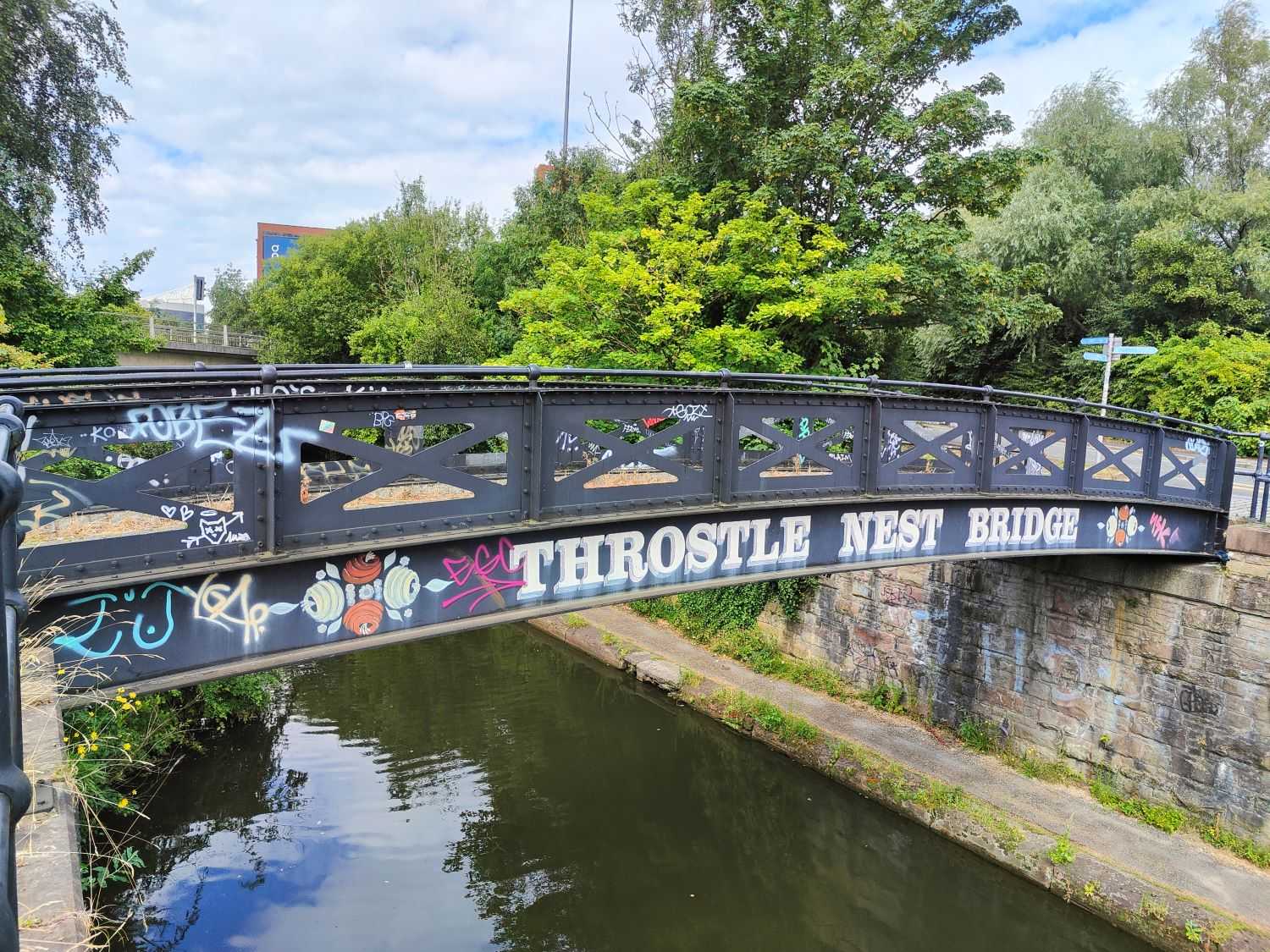
Throstle Nest Loop
A gentle walk along Bridgewater Canal and the Irwell from Castlefield. See Manchester's industrial past right in front of you, watched over by swans.
The Route
This route starts and ends near Castlefield bowl. The nearby museum and Factory International have café outlets. This route makes a great and safe walk through the centre during a sunny day. It is poorly lit at night, however, and being next to a canal, I recommend care.
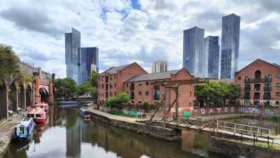
Potato Wharf
The start of this walk takes you through Potato Wharf. Now a new development of flats, it was once one of the busiest cargo wharfs in Manchester. The wharf was almost entirely dedicated to trading potatoes, and also handled coal from Worsley.
Walk down the old cobbled road, and between two of the buildings, to find a bridge over the canal. Cross the bridge, and you'll see Deansgate Quays to your lift. You'll be heading down the canal away from the centre.
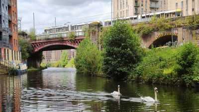
Bridgewater Canal
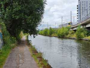
Bridgewater Canal is one of the first canals in Manchester. It runs all the way out to Worsley. The canal saw the entire industrial revolution, and you can see dozens of old warehouse buildings. Most of them are now converted to housing.
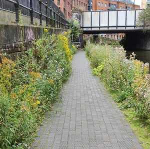
The canal follows the Metrolink line, and old railway (or rather, they follow the canal) out towards Salford Quays. As you walk along, you are never more than a couple dozen yards from a busy road, or new development. However, it will feel much further. The canal is a small cut of nature through the metropolitan city.

Throstle Nest Bridge
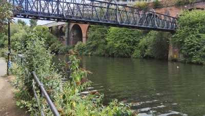
As you near Media City, you will cross Throstle Nest Bridge. A local landmark as many local running clubs use the canal for their runs, and it marks 2.5km from where you joined the canal.
From the bridge you can look both ways down the canal, and it is a peaceful moment to do some thinking.
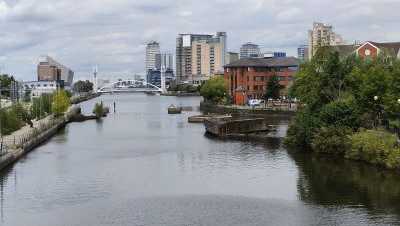
Crossing to the Irwell
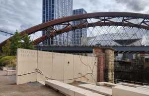
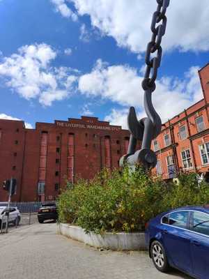
From Throstle Nest, head up the road and cross the roundabout. Here you can see the old Liverpool Company Warehouse. Walk over the large red bridge, and you can see Media City arrayed to your left.
You can head down a staircase next to Cult and Coffee. Here you can get a coffee and sit outside next to the river. From here, head back under the bridge.
Along the River
The path next to the river runs all the way back to Factory International (Aviva Studios). So you have no directions to follow.
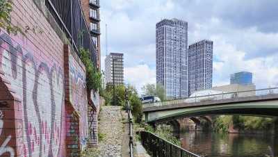
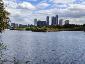
Walking along the river, you will often see the swans swimming past, or boat teams rowing out of Media City. This area of the river forms the start of Manchester Shipping Canal, and therefore used to be entirely landings for ships. You can still find all the old moorings and some stairs that allowed access to lower sitting boats.
The area is popular with graffiti artists and new artwork pops up regularly. The views over Manchester are spectacular in the evening sun.
Back to the Start
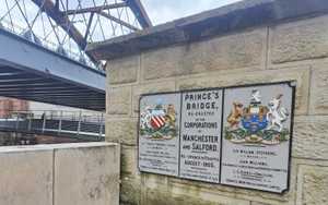
You will reach the end of the riverside path near Prince's Bridge. Here, you cross the river to Factory International and snake through the lanes to where you start. The full walk isn't too long, but there are plenty of spots with a view that are great for thinking. I often find it's the best space in Manchester to think through problems, and can often spend much longer walking than if I powered through.
Image Gallery




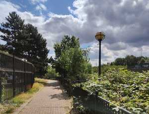

Getting to the start
Train
Served by two main stations, Victoria and Piccadilly, the city centre has regular service from all over the country.. The rail network is surprisingly well spread, being a legacy from the Industrial Revolution, where the outer mill towns needed regular service.
Metrolink
The Metrolink network serves much of Greater Manchester. Its best feature is its regularity. With one every 12 minutes on every line, you don't even really need to plan, just turn up and one will be there shortly.
Bus
The Greater Manchester Bee Network means all buses into the centre are £2 for a single, and £5 for a day rover, which gets you on any bus all day. The network serves most of Manchester, and is regular during peak times. Just heck ahead on a weekend as services are less common, but normally at least hourly.
Car
Driving to Manchester is easy. There is paid parking all around the centre. Just follow the signs to Manchester.
This button will open Google Maps directions to Manchester City Centre.
Get directions here