
FOUR! Beware Golf Balls
Worsley, the heart of the industrial revolution. See rejuvenated train lines, walk the golf course gauntlet, and absorb the serenity of Bridgewater Canal.
The Route
Worsley, the self-proclaimed heart of the industrial revolution. There's plenty of living history, Worsley have worked hard to preserve what they have and share it with everyone. The route has long peaceful stretches along rejuvenated train lines and Bridgewater Canal. It's an easy walk circling Worsley, with only a couple inclines along it's length.
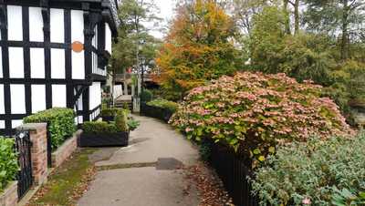
The ABC Bridge
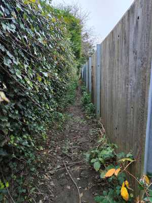
The walk starts in Worsley Village Green. You will walk up the road, and find a footpath tucked away that snakes through some quaint houses and canal basins.
Much of the buildings here are idyllic to look at. Built in the black and white fashion, with well maintained gardens, perched on the bank of the canal, the area around here is peaceful, and feels like you are stepping back in time. To head over the canal, you will cross the ABC bridge. Named because each of its 26 beams is labelled with a letter of the alphabet.
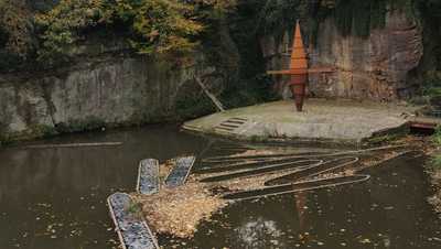
Worsley Delph
Crossing the road, you head into the Worsley Delph. An old coal mine entry sits in the basin. The viewing platform details plenty of interesting information about the area, and the bizarre sculpture you will see before you.
The path heads up into the forest from here. Stay to the right of the fork ahead.
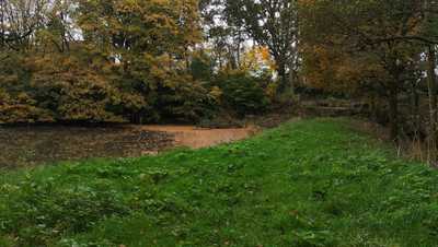
Worsley Woods
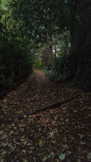
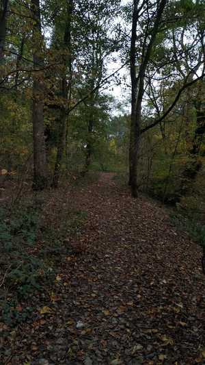
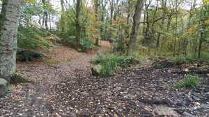
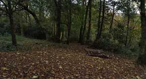
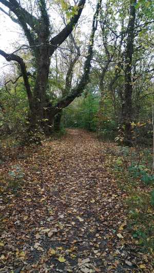
Here, the trail snakes through a forest. You will see the corner of Old Warke Dam, which is a beautiful area where the sun can break in the woods. The paths can be muddy after heavy rain, but drain well. Be careful with your footing, and there's nothing too difficult here.
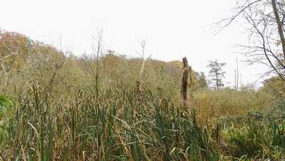
Kempnough Brook
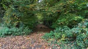
Crossing the road, you skirt the edge of a field. Then, you cut right to Kempnough Brook. The sodden ground here gives rise to a very different ecosystem. The rushes and dead trees provide an almost ominous feeling in autumn. You will cross the brook, and turn left.
The brook forms a thin streak through otherwise thick green forest.

Under the Motorway
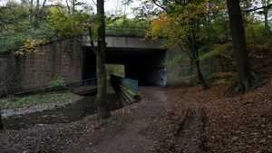
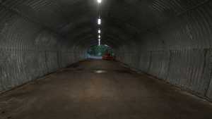
From the brook, you pass under a motorway. The graffiti on the wall is impressive, and the brutalist nature of the underpass provides a juxtaposition from the forests on either side.
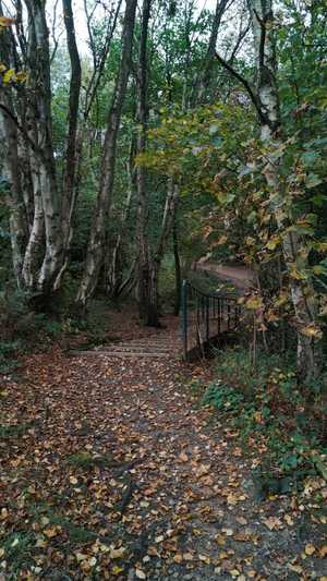
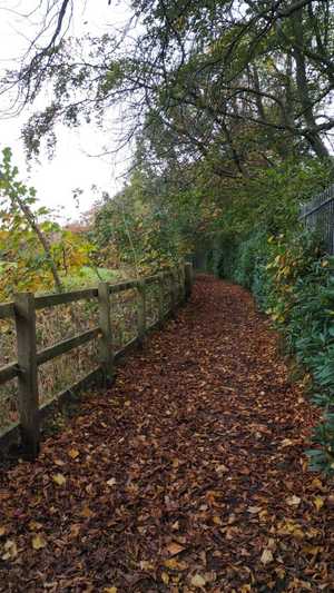
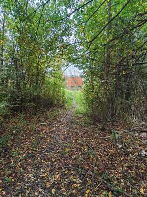
Once you pass under the motorway, cross the stream again, and turn right, up the small rise, and along a fenceline. You'll see old sycamores and oak trees along the trail here, before coming to a set of steps down to the loopline.
The Looplines
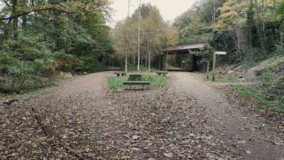
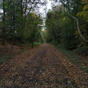
Turn left when you reach Roe Green Loopline. This area used to be the train line serving the towns around the area and Manchester when the mines were in the area. Now, it is converted to a shared cycle and pedestrian route, with plenty of access paths to the various estates along the route.
Part way down, the route will fork. Be sure to take the left path, onto Tyldesley Loopline. This path goes towards Ellenbrook, and is popular with dog walkers.
The Guided Busway
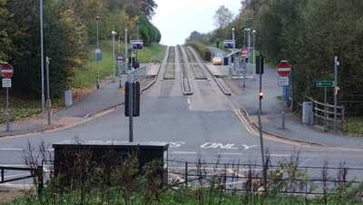
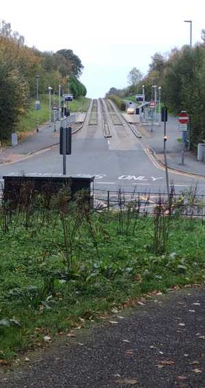
The loopline will take you out onto East Lancashire Road, with the Guided Busway dead ahead. I don't know what to make of the busway, it's a ridiculous idea, but part of me is fascinated by the ridiculous nature of it. A harsh concrete social infrastructure project, it's an odd sight, and I think it's a unique piece of architecture.
From here, you turn left, and walk down the road. I'm afraid I couldn't find a nicer path for this section of the walk. It is brief, however, and when you reach the traffic lights, cross over and turn left. The footpath continues on your right.
The Golf Course
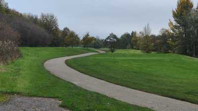
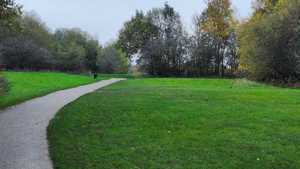
The next stretch takes you onto a golf course. The footpath is signposted, and stick to it. Golf courses can be dangerous if you leave the path, as it's hard to tell where balls will be coming from.
The manicured lawns and fairways give the rolling fields a good texture, and paths snaking off to either side provide a series of postcard moments.
The Canal
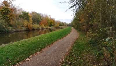
Once you reach the other side of the golf course, you turn right down the road, and left down the hill. The footpath is signposted on your right. You'll skirt the edge of RHS Bridgwater and come up to Bridgewater Canal. Turning left will take you towards the end of the route.
Here, you can see plenty of birds, and may even see heron stalking the edge of the canal, hunting minnows. The leafy sides, and view over the Bridgewater Gardens make for a great conclusion to this walk.
Image Gallery
Getting to the start
Bus
Both the 33 and 35 buses serve the area from the city centre. It is also served by the 66 from the North of Manchester, and the 20 from the Trafford centre. All buses serving the area are on the Bee Network, which means cheap fares from all around Manchester.
Car
There are several pubs in the area providing parking, if you're happy to get a drink. The best spot is the village car park opposite the courthouse. It is pay and display, but is available all day every day.
This button will open Google Maps directions to Worsley.
Get directions here