
The Black Gold Highway
Bridgewater canal once connected Worsley coal mines and Castlefield's industry. Now, the canal charts a course through woods, farms, industry and history.
The Route
Bridgewater canal once connected Worsley coal mines and Castlefield's industry. Now, the canal charts a course through woods, farms, industry and history. It provides a route from suburb to centre for everyone to use.
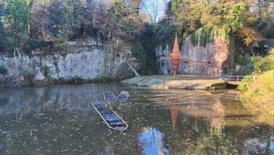
Worsley Delpth
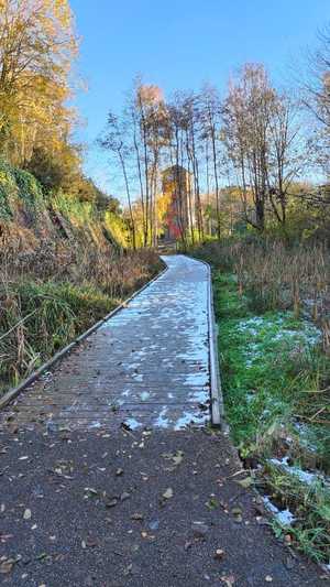
The walk starts in Worsley Delpth. The mine where the coal was first dug out of the ground, and loaded onto Starvationers. The viewing platform details plenty of interesting information about the area, and the bizarre sculpture you will see before you.
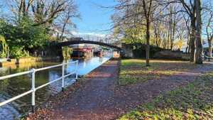
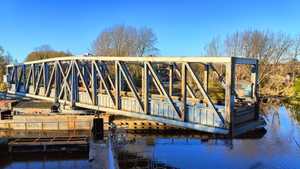
You will walk up to the road, cross, and find a footpath tucked away that snakes through some quaint houses and into Worsley Basin. Much of the buildings here are idyllic to look at. Built in the black and white fashion, with well maintained gardens, perched on the bank of the canal, the area around here is peaceful, and feels like you are stepping back in time. To head over the canal, you will cross the ABC bridge. Named because each of its 26 beams is labelled with a letter of the alphabet.
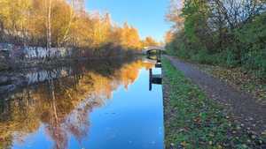
Here is your last direction, follow the canal on your left.
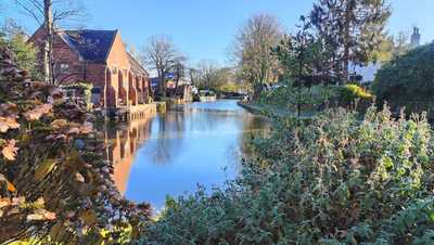
Worsley
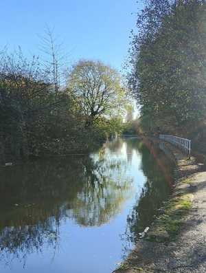
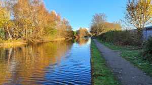
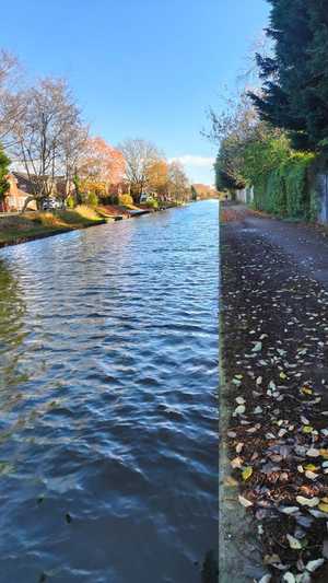
The first village you walk through is Worsley. Here you'll see village greens and old cottages. The sides of the canal are fields and farmland. There is information on the history of the canal on benches down the canal path.
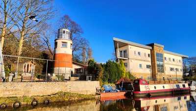
Monton
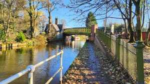
Throughout the canal, there are sections of bizarre architecture. The first is as you enter Monton. A huge lighthouse, and nautical themed building, welcome you to Monton. An old mill town, crossing the green bridge will take you to the town's high street, should you want a coffee break.
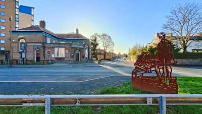
Patricroft
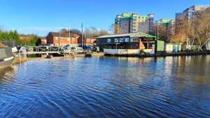
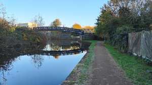
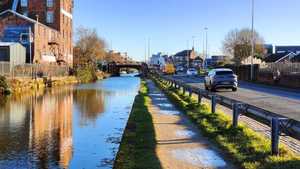
This section of the canal runs alongside a busy road. The path is separated by a bank, however. This section has plenty of canal boats moored up. The cruising club here is a popular one. It does have a pub, The Dutton Arms, which makes a good pit stop.
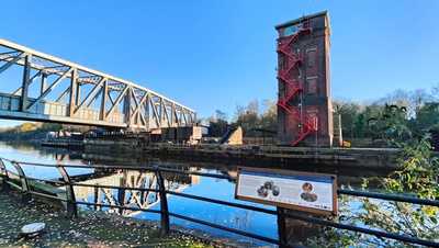
Barton Swing Aqueduct
Heading through Barton (see more here), there is a marvellous piece of Victorian engineering. A rotating bridge, that holds an entire canal. Used to cross the Manchester Ship Canal, it is still in working condition, and you can see it open if you get lucky. It is quite something to see a canal on a bridge over another canal.
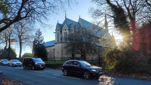
To get past the bridge, you do divert onto the road. Here, you can pass through pocket park, a quaint little spot on the side of the Ship Canal. Once you cross the Ship Canal, you can rejoin the canal by turning left immediately. However, if you detour a couple of hundred yards further up the road, you can see All Saints Church, a great piece of architecture.
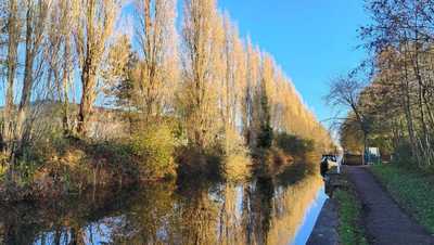
Trafford
The next area you pass through is Trafford. This area is still industrial, and a large effort has been made to conceal the area from the canal with tree plantings. Small areas have evidence of the old moorings and loading areas from the original canal, but you have to pay attention to see them.
You can access the Trafford Centre here should you want a coffee break.
As you head down, the canal splits. Use the bridge to cross over and head left down the canal.
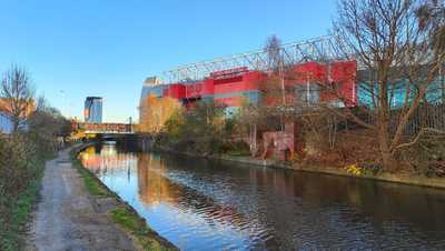
Old Trafford
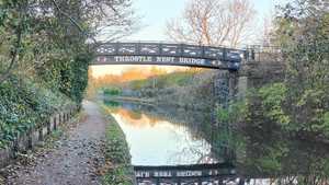
This stretch passes the freight yard of Manchester's freight rail station. You will shortly come to Throstle Nest Bridge, which you need to cross to continue down the canal.
Passing this, you reach what some may call hallowed ground. Old Trafford stands amidst the industrial area as an homage to the club's roots. The Manchester club for the working class of Newton Heath, whose fans would often work in local factories within sight of the stadium. There is a bar here that can serve as a pitstop, but it will busy on a matchday.
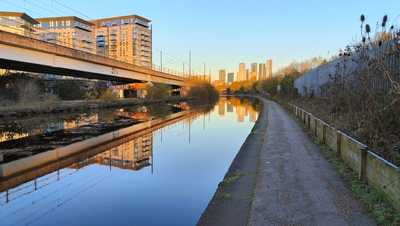
Pomona
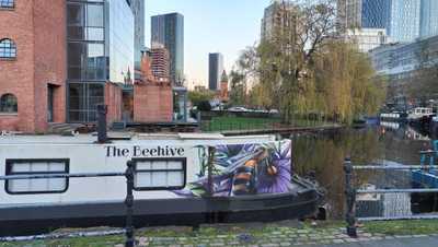
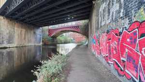
The area after Old Trafford is Pomona. Here, Manchester's skyline starts to loom over the canal. You can see new glass towers, and plenty of old brick conversions. The Metrolink running parallel provides a literal comparison between the modern and old way of travelling.
Castlefield
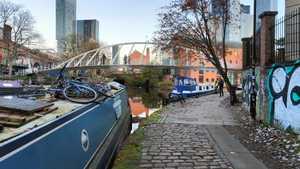
Entering Castlefield, the indicators of its past are everywhere. Quays and old warehouse buildings line the canal. The names are a great indicator. The likes of Potato Wharf, which now a series of new build flats, is still named for the produce most often unloaded here in the 1800s. Be sure to enjoy the seclusion of the canal in the city centre. Castlefield basin has a couple of pubs to end the walk at, or Liverpool Street has several more, so there is no shortage of choice or quality.
Image Gallery
Getting to the start
Bus
Both the 33 and 35 buses serve the area from the city centre. It is also served by the 66 from the North of Manchester, and the 20 from the Trafford centre. All buses serving the area are on the Bee Network, which means cheap fares from all around Manchester.
Car
There are several pubs in the area providing parking, if you're happy to get a drink. The best spot is the village car park opposite the courthouse. It is pay and display, but is available all day every day.
This button will open Google Maps directions to Worsley.
Get directions here